Hikes in Oregon
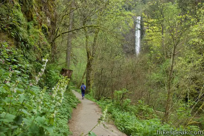
Oregon is a state with immense outdoor beauty ranging from ferny forests to volcanic buttes and gushing waterfalls. To see some of the state’s finest waterfalls, head to the Columbia River Gorge east of Portland.
Regions of Oregon
Oregon is commonly divided into 7 regions, each with their own personality, particularly for outdoor pursuits. The seven regions are:
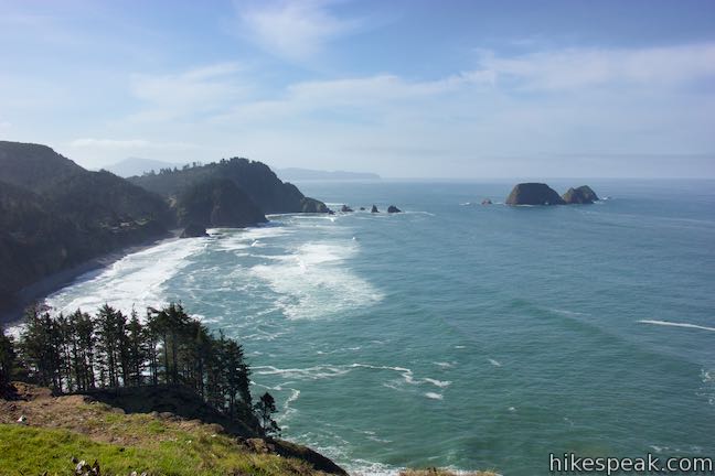
Coastal Oregon – The Beaver State has 350 miles of pristine coastline. Explore rugged capes, pristine beaches, and quaint towns on the Oregon coast.
Greater Portland – Oregon’s biggest city is not without its natural appeal and has many parks to visit.
Columbia River Gorge – Along the Washington border east of Portland, uncover incredible hiking in a waterfall-packed area along the Columbia River. Mount Hood, Oregon’s tallest mountain, rises to the south to offer more hiking opportunities.
Willamette Valley – Well know for its wineries, this region includes the cities of Salem and Eugene and has buttes and forests for hikers.
Central Oregon – The high desert meets even higher mountains in the middle of Oregon, the skyscraping Cascade Range. This region around Bend contains a wide variety of trails along rivers, peaks, desert canyons, and volcanic landscapes.
Southern Oregon – Ashland, Klamath Falls, and Grant’s Pass enjoy a temperate climate at the bottom of the state with plenty of outdoor fun including Crater Lake National Park.
Eastern Oregon – This side of Oregon looks a lot different than other parts of the state. Here evergreen forests are replaced by desert canyons.
Oregon Hiking
This collection of trails lists hikes roughly from west to east and north to south, but the table may also be sorted alphabetically or by distance to help you pick your next hike. Click on any trail to see a full write-up complete with photos, GPS maps, directions, and all the other information needed to locate and enjoy these hikes. You can also view hikes around Oregon on the Hike Finder Map.
| Trail | Description | Distance | Location |
|---|---|---|---|
 020 020 | Ecola Point to Indian Beach This hike on Oregon Coast Trail explores wild beautiful scenery in Ecola State Park between Ecola Point and Indian Beach. | 2.65 miles 350 feet | 45.9195, -123.9741 |
 030 030 | Cape Meares Lighthouse & Octopus Tree This easy hike in Cape Meares State Park visits a beautiful lighthouse and an equally impressive tree, exploring a coastal cape with tall cliffs and big ocean views. | 0.8 miles 180 feet | 45.4856, -123.97443 |
 033 033 | Oceanside Beach to Tunnel Beach This sandy stroll comes with an adventurous twist, a man-made tunnel through a cliff that leads from one beautiful beach to a second, more secluded beach. | 0.8 miles 20 feet | 45.4605, -123.9700 |
 037 037 | Munson Creek Falls Trail This short hike near Tillamook travels up a forest canyon to the tallest waterfall in Coastal Oregon. | 0.5 miles 90 feet | 45.36565, -123.77355 |
 040 040 | Cape Lookout Trail This hike in Cape Lookout State Park ventures down a promontory on the Oregon Coast with beautiful ocean views. | 5 miles 440 feet | 45.3414, -123.9745 |
 045 045 | Whalen Island Loop Trail This hike explores a lovely island-like park in Sand Lake Estuary with ocean and wetland views. | 1.5 miles 40 feet | 45.2732, -123.9502 |
 050 050 | Cape Kiwanda This short beach hike explores tide pools and sand dunes at a rugged headland in Cape Kiwanda Natural Area near Pacific City. | 1 mile 75 feet | 45.2157, -123.9711 |
 052 052 | Alder Island Nature Trail This short, easy hike off the coast south of Lincoln City explores a small island at the mouth of the Siletz River. | 0.85 miles 5 feet | 44.8954, -124.0085 |
 055 055 | Saddle Mountain Trail This out and back hike rises through fir forests and wildflower-filled grassy slopes up to a summit with panoramic coastal views. | 5 miles 1635 feet | 45.9628, -123.6899 |
 060 060 | Beaver Falls This short hike slips down through forest to a beautiful waterfall plunging over a basalt wall. | 0.7 miles 100 feet | 46.10394, -123.1298 |
 170 170 | Tualatin Hills Nature Park This hike on Vine Maple Trail, Old Wagon Trail, and Oak Trail loops through forests and wetlands in a pocket of wilderness on the west side of Beaverton. | 2.1 miles 30 feet | 45.49825, -122.8392 |
 175 175 | Dogwood Trail - Alder Trail Loop This hike combines five trails (Keil Trail, Dogwood Trail, Leif Erikson Drive, Alder Trail, and Wildwood Trail) to form a lovely woodland loop in Forest Park. | 2.8 miles 410 | 45.5403, -122.7368 |
 178 178 | Wild Cherry Trail – Dogwood Trail Loop This Forest Park hike plots a nice, short, woodland escape by easing down Wild Cherry Trail to Leif Erikson Drive and rising back up Dogwood Trail. | 2.5 miles 515 feet | 45.53826, -122.73406 |
 180 180 | Wild Cherry Trail – Alder Trail Loop This circuit (a combination of two shorter loops) explores more of woodland beauty in Forest Park. | 3.5 miles 510 feet | 45.53826, -122.73406 |
 180 180 | Holman Lane – Wildwood Trail – Birch Trail Loop This hike combines three trails in Forest Park for a refreshing woodland walk. | 2.7 miles 425 feet | 45.5336, -122.7332 |
 190 190 | Lower Macleay Trail to Stone House This hike starts by following Balch Creek to fern-covered ruins and can finish with a loop that exits Forest Park and passes through the Willamette Heights Neighborhood in Northwest Portland. | 2 miles 400 feet | 45.53585, -122.7125 |
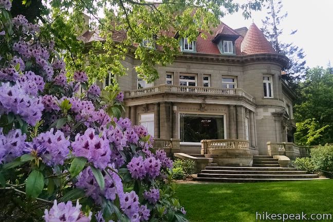
 200 200 | Lower Macleay Park to Pittock Mansion This Forest Park hike takes Lower Macleay Trail to the Stone House ruins and ascends Wildwood Trail to Pittock Mansion, bagging a big view over Portland. | 5.4 miles 850 feet | 45.53585, -122.7125 |
 210 210 | Cornell Road to Pittock Mansion This partial loop on Wildwood Trail and Upper Macleay Trail goes up a wooded hillside in Forest Park to Pittock Mansion, a landmark with panoramic views over Portland. | 2.5 miles 435 feet | 45.5269, -122.7265 |
 220 220 | Marquam Nature Park This hike goes through peaceful forest in a less visited pocket of Portland's West Hills. | 1.3 - 4.25 miles 225 - 500 feet | 45.50276, -122.6916 |
 230 230 | George Himes Trail This short lollipop loop ascends into Portland's West Hills for a woodland walk with a view of Mount Hood. | 1.5 miles 400 feet | 45.49825, -122.8392 |
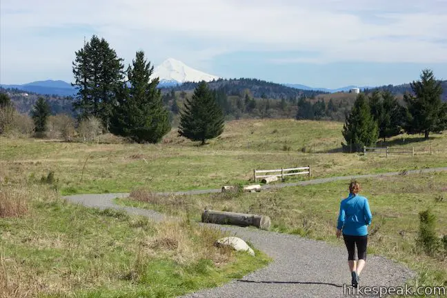
 235 235 | Powell Butte This lollipop loop combines Mountain View Trail and Summit Lane to explore the top of Powell Butte and its big views from Southeast Portland. | 2.15 miles 165 feet | 45.49036, -122.49726 |
 312 312 | Scouters Mountain Nature Park This short loop explores a forested mountain east of Portland, rising to a shelter and a viewpoint facing Mount Hood. | 1.2 miles 180 feet | 45.4468, -122.5078 |
 240 240 | Old Main Trail - Red Fox Trail - Cedar Trail - Middle Creek Trail - Maple Ridge Trail Loop This 5-trail circuit in the middle of Tryon Creek State Natural Area goes through rolling woodland and across 3 bridges. | 2 miles 150 feet | 45.4411, -122.6759 |
 250 250 | Trillium Trail This short nature trail in Tryon Creek State Natural Area is packed with plant-identifying panels as well as benches and viewing platforms. | 0.37 miles 15 feet | 45.4411, -122.6759 |
 260 260 | Camassia Natural Area This easy loop tours wildflower-packed meadows and surrounding forests in a blossoming West Linn preserve. | 0.8 miles 70 feet | 45.3592, -122.6182 |
 270 270 | Canemah Bluff Nature Park This hike explores wildflower fields and forests on a perch above the Willamette River near Oregon City. | 1.7 miles 165 feet | 45.3449, -122.6256 |
 370 370 | Latourell Falls Trail This loop explores a canyon with two beautiful waterfalls, attaining great views of both. | 2.3 miles 475 feet | 45.53865, -122.218 |
 380 380 | Angel's Rest This hike ascends to a panoramic landing with spectacular views across Columbia River Gorge (particularly at sunrise). | 4.8 miles 1500 feet | 45.5605, -122.17245 |
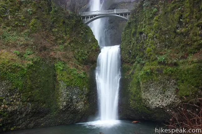
 390 390 | Multnomah Falls This out and back hike visits Oregon’s tallest (and probably most seen) waterfall, located in Columbia River Gorge east of Portland. | 0.2 to 2.6 miles 25 feet to 725 feet | 45.5777, -122.1173 |
 400 400 | Multnomah-Wahkeena Loop This loop uses Wahkeena Trail and Larch Mountain Trail to visit six glorious waterfalls (including Wahkeena Falls and Multnomah Falls) as well as fine cascades along Wahkeena Creek and Multnomah Creek in beautiful canyons off Columbia River Gorge. | 6.05 miles 1525 feet | 45.5777, -122.1173 |
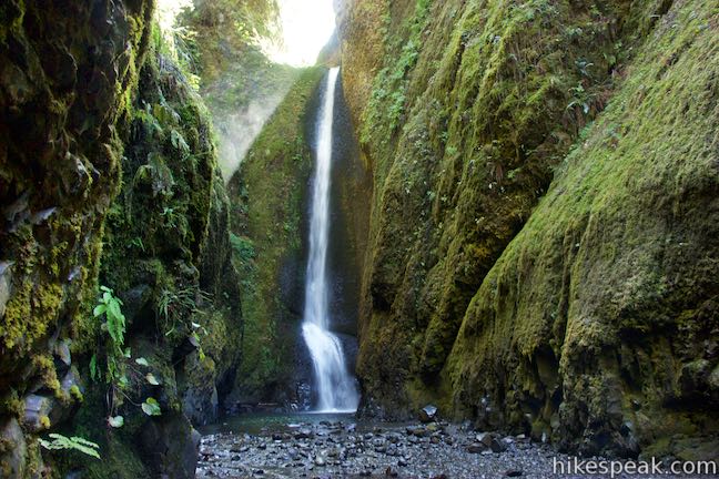
 410 410 | Lower Oneonta Falls in Oneonta Gorge This off-trail trek follows Oneonta Creek between the tall, mossy cliffs of a wild and beautiful gorge to the base of an enchanting 100-foot waterfall. | 0.8 miles 25 feet | 45.589485, -122.07558 |
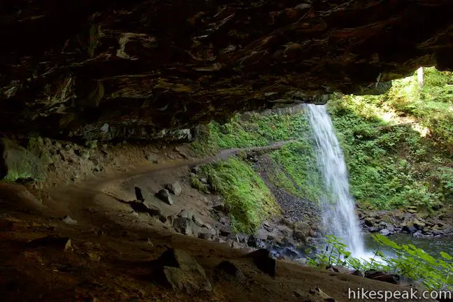
 420 420 | Horsetail Falls Trail - Oneonta Trail Loop This loop starts at Horsetail Falls, passes beneath an overhang behind Ponytail Falls, and crosses a bridge by Middle Oneonta Falls to hit three waterfalls and viewpoints looking out over the Columbia River Gorge. | 2.85 miles 325 feet | 45.5903, -122.06833 |
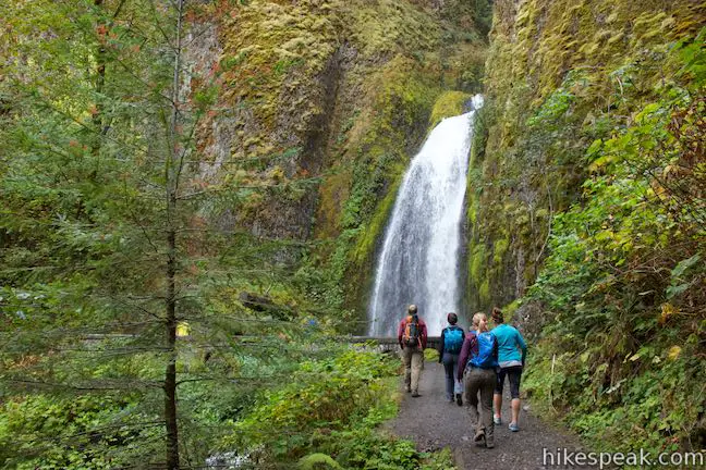
 430 430 | Wahclella Falls This hike visits a sublime waterfall in a canyon within the Columbia River Gorge. | 2 miles 250 feet | 45.630463, -121.953758 |
 440 440 | Eagle Creek Trail This hike ventures up a beautiful and dramatic canyon to impressive waterfalls like Metlako Falls, Lower Punchbowl Falls, and Punchbowl Falls. | 4.55 miles 400 feet | 45.6368, -121.9196 |
 447 447 | Hood River Pipeline Trail This easy and enticing river hike follows a catwalk atop a penstock flume pipeline. | 2.8 miles 100 feet | 45.70386, -121.5061 |
 450 450 | Mosier Twin Tunnels via Historic Columbia River Highway State Trail This hike ventures up a paved trail on a century old roadway to a pair of tunnels carved into basalt cliffs on the side of Columbia River Gorge. | 2 - 9.5 miles 320 feet | 45.68, -121.409 |
 480 480 | River Trail Loop This hike in Deschutes River State Recreation Area explores views from the water's edge and a grassy terrace that borders the bottom of the Deschutes River before it meets the Columbia River. | 3.1 miles 115 feet | 45.6293, -120.908 |
 515 515 | Old Salmon River Trail This hike explores a lush and lovely old-growth forest along the Salmon River in Mount Hood National Forest. | 5.1 miles 175 feet | 45.3085, -121.9432 |
 530 530 | Mirror Lake Trail This lollipop loop hike crosses forest streams and ascends to Mirror Lake, which features reflective views of Mount Hood. | 4.3 miles 550 feet | 45.3026, -121.7775 |
 535 535 | Trillium Lake Trail This easy loop hike circles the shores of a picturesque lake in the forest below Mount Hood. | 2 miles 15 feet | 45.2682, -121.7387 |
 560 560 | Trail of Ten Falls This loop passes ten acclaimed waterfalls in Silver Falls State Park on a picturesque and exciting hike that actually goes behind four of the waterfalls. | 7.9 miles 600 feet | 44.8776, -122.6556 |
 570 570 | South Falls This lollipop loop hike goes up to and behind a 177-foot waterfall that is the jewel of Silver Falls State Park. | 1.1 miles 200 feet | 44.8776, -122.6556 |
 572 572 | Maple Ridge Loop This hike in Silver Falls State Park ventures behind both South Falls and Lower South Falls and also explores a ridge-top forest. | 2.8 miles 375 feet | 44.8776, -122.6556 |
 580 580 | West Metolius River Trail The hike follows the west bank of the Metolius River to impressive gushing springs and a fish hatchery. | 5.4 miles 100 feet | 44.5011, -121.6409 |
 590 590 | Head of the Metolius This short hike visits the surprising source of the Metolius River, a gushing spring accompanied by views of Mount Jefferson. | 0.5 miles 35 feet | 44.4341, -121.634 |
 600 600 | Black Butte The hike summits one of the most identifiable peaks in Central Oregon, which has fire lookout towers and panoramic views of the Cascade Mountains. | 4 miles 1550 feet | 44.3949, -121.6476 |
 605 605 | Clear Lake Loop This charming curcuit crosses lava fields and old-growth forests along the shore of a strikingly clear Cascadian lake. | 5 miles 75 feet | 44.3735, -121.9985 |
 615 615 | Spencer Butte This out and back hike crosses a fern-covered forest and goes up to the crown of a butte with 360-degree views. | 5.2 miles 1,100 feet | 43.99593, -123.0997 |
 620 620 | Terwilliger Hot Springs Venture into Willamette National Forest to a natural hot springs where bathers can soak in a series of terraced pools. | 0.9 miles 85 feet | 44.082, -122.2319 |
 710 710 | Archie Briggs Canyon Trail This short hike descends a ravine to clifftop views over a dramatic canyon on the Deschutes River. | 1.25 miles 325 feet | 44.0855, -121.3347 |
 720 720 | Shevlin Loop Trail This tour of Shevlin Park just a few miles east of Bend explores pine forests on both sides of Tumalo Creek. | 4.75 miles 240 feet | 44.083, -121.37785 |
 730 730 | Pilot Butte This hike spirals up the dominant landmark in Bend to offer sweeping views of majestic surroundings. | 1.8 miles 475 feet | 44.0579, -121.2785 |
 740 740 | Tumalo Falls See Bend's best waterfall from a downstream viewpoint and take a short hike to an overlook by the top of the falls. | 0.5 miles 105 feet | 44.032, -121.56635 |
 750 750 | Tumalo Falls Loop This circuit ventures above Tumalo Falls and explores numerous other waterfalls and cascades on Tumalo Creek, combining North Fork Trail, Swampy Lakes Trail, and Bridge Creek Trail. | 7.4 miles 1,100 feet | 44.032, -121.56635 |
 760 760 | Lava Butte This hike explores a cinder cone with a fire lookout tower and a crater-circling trail that offer panoramic views over Lava Butte Lava Flow and the Cascade Mountains. | 0.35 - 3.85 miles 110 - 520 feet | 43.9093, -121.3576 |
 770 770 | Trail of the Molten Land This paved partial loop cuts through Lava Butte Lave Flow and is packed with information and views. | 1.25 miles 135 feet | 43.9093, -121.3576 |
 780 780 | Trail of the Whispering Pines This interpretive botanical trail explores high desert plants on the edge of Lava Butte Lava Flow. | 0.4 miles 5 feet | 43.9093, -121.3576 |
 790 790 | Benham Falls This leisurely hike on Deschutes River Trail gathers views of aggressive cascades on a churning and tumbling stretch of the Deschutes River. | 1.9 miles 50 feet | 43.93125, -121.41335 |
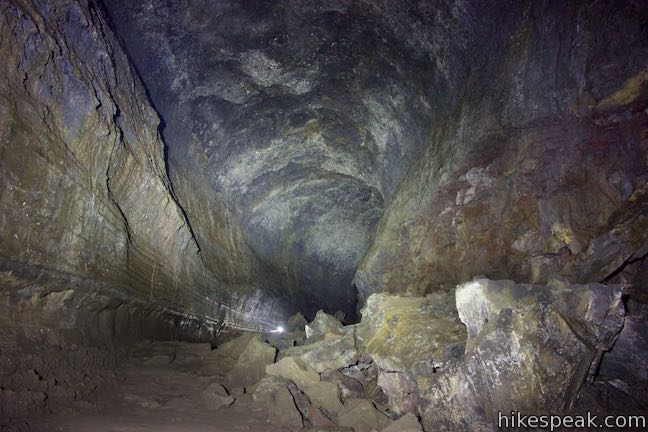
 800 800 | Lava River Cave This underground hike explores a lava tube south of Bend that is filled with fascinating volcanic features. | 2 miles 150 feet | 43.8954, -121.3696 |
Oregon Camping
Oregon’s state parks and regional (county) parks, as well as the national forests and other federal lands, present many great camping options. These are just a few of the places to camp in Oregon.
 | Cape Lookout State Park Campground This grand, oceanfront campground has over 200 sites right behind a big, beautiful beach. |
 | Deschutes River SRA Campground Just east of Columbia River Gorge, this campground at the bottom of the Deschutes River has 34 sites with electrical hookups, 25 more primitive sites, and 4 group sites. |
 | Lower Canyon Creek Campground This spacious 7-site campground is sparsely shaded by pines next to the confluence of Canyon Creek and Metolius River. |
 | Trillium Lake Campground Located just miles from Government Camp, this campground has 57 sites sitting in the evergreens by Trillium Lake below Mount Hood. |
 | Whalen Island County Campground This 33-site campground is a nice camping option on Whalen Island with easy access to estuary beaches and a loop hike. |
Oregon Attractions
While hiking is the best way to see Oregon (biased opinion), visitors can take in Oregon’s splendor without hitting the trails.
 | Vista House This iconic Oregon viewpoint is a National Natural Landmark with tremendous no-hiking-required views of Columbia River Gorge. |
