
The 3.6-mile round trip hike to Murphy Point provides a peaceful outing with excellent views off the western end of the Island in the Sky. This is an excellent morning hike, when the sun first strikes the expansive canyons below the mesa. Alternatively, the wide western view also makes this a recommended sunset trail. The trail is downhill most of the way with only 150 feet of elevation to contend with.
The route to Murphy Point starts as a wide dirt road and finishes as a cairn-lined sandstone track. Half a mile from the start, and not far past the remains of an old corral, you will come to a junction. The left fork descends 4.2 miles off the side of the mesa to White Rim Road. Turn right instead, and begin a straight course down the center of a peninsula in the Island in the Sky. There is a slight uphill grade as the land narrows, providing excellent early views off both side of the mesa.
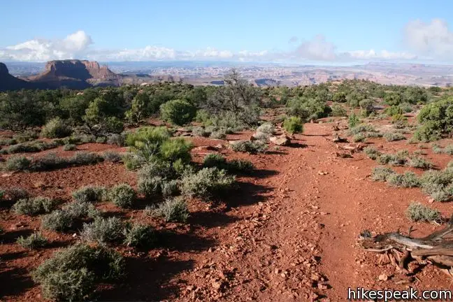
The trail eventually turns left down a slope before turning back to the right and straightening out. Gravel is scarce now, so keep an eye on the cairns as the trail becomes less pronounced. One last left turn puts you on course for the mesa’s edge at the southern face of Murphy Point.
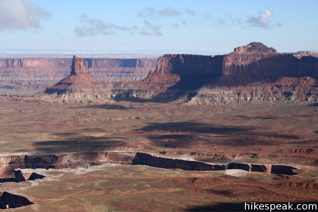
The view from here is enormous. You can look all the way down the mesa toward Grand View Point, and beyond at Junction Butte. Below is an immensity of canyons designed by the Green River.
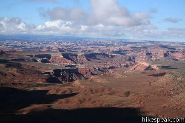
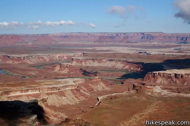
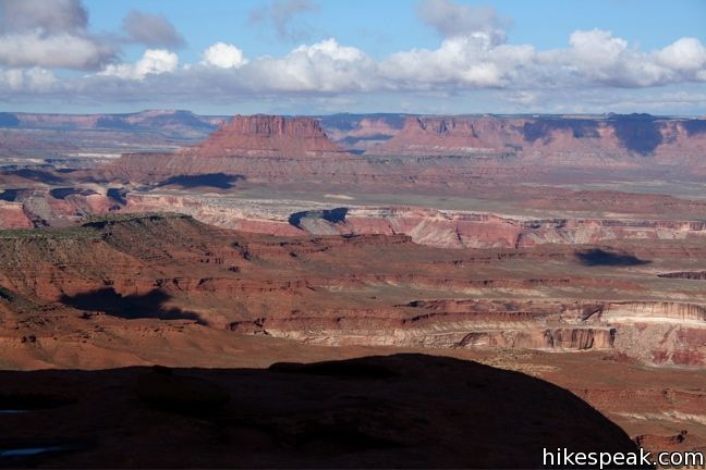
If you simply turn back here, you will miss out on some of the views that Murphy’s Point has to offer. Put in a little overtime and forge an off-trail clockwise loop along the edge of the point. This will expand your view to the south and west and expose new views to the north. After completing the bonus loop, retrieve the cairn lined trail and head out the way you came in.
To get to the trailhead: From the Island in the Sky Visitor Center, drive south for 8.6 miles and turn right into the parking area for Murphy Point.
Trailhead address: Grand View Point Road, Canyonlands National Park, Moab, UT 84532
Trailhead coordinates: 38.35497, -109.8638 (38° 21′ 17.9″N 109° 51′ 49.7″W)
View Canyonlands National Park in a larger map
Or view a regional map of surrounding Utah trails and campgrounds.
 | White Rim Overlook This gradual 1.8-mile hike visits the end of a peninsula in the Island in the Sky with 300-degree views of the canyons below. |
 | Mesa Arch This 0.7-mile loop visits a picturesque arch spanning across the mesa's edge. |
 | Grand View Point This 2-mile hike travels along the mesa's edge from Grand View Overlook to the southernmost point on the Island in the Sky. |
 | More trails in Utah Explore other hikes in Canyonlands National Park and elsewhere. |


[…] to hit the road to head home and the rest of our group went for a mountain bike ride, we chose the Murphy’s Point trail that was recommended for a quick hike with awesome […]
[…] of the trip we visited the Island in the Sky district of Canyonlands National Park. We chose the Murphy’s Point hike because it is short and easier with big views at the end. We were not […]
[…] of the trip we visited the Island in the Sky district of Canyonlands National Park. We chose the Murphy’s Point hike because it is short and easier with big views at the end. We were not […]
[…] second hike of the day was Murphy’s Point Trail. This hike was recommended to us for beautiful views of the sun setting on the canyons, which […]
[…] 3.6-mile roundtrip hike to Murphy Point is easy and definitely worth the surreal views at the end! Take time to enjoy and photograph the […]
Let the cairns guide you. They’ll take you to an overlook that showed me what I like to think of as what it looks like on Mars. Next time I’m back in UT I’m spending a lot more time in that place.