
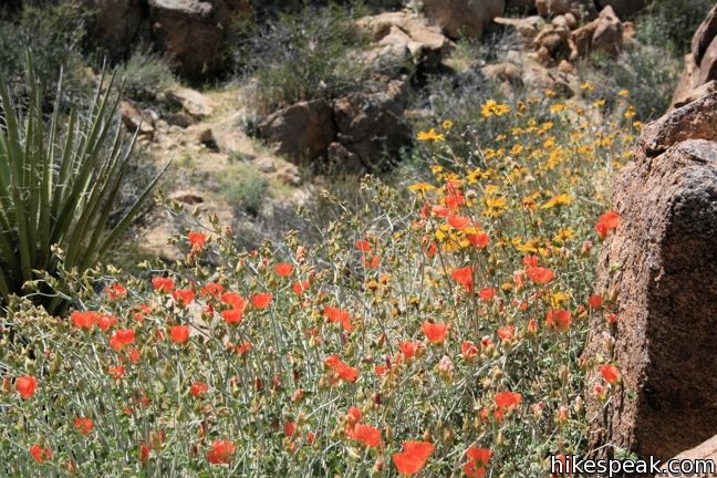
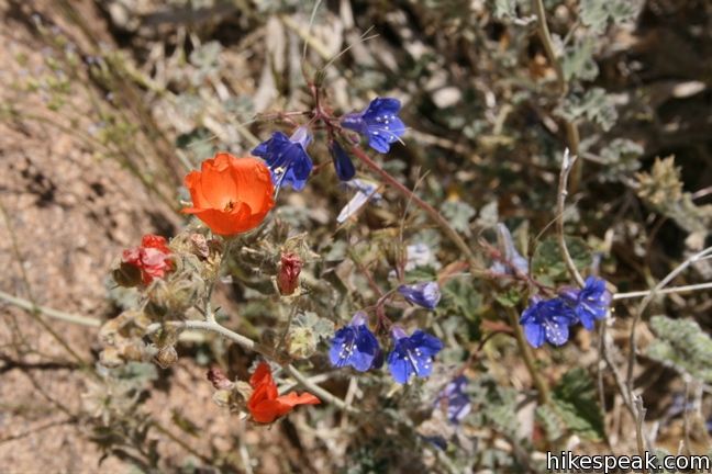
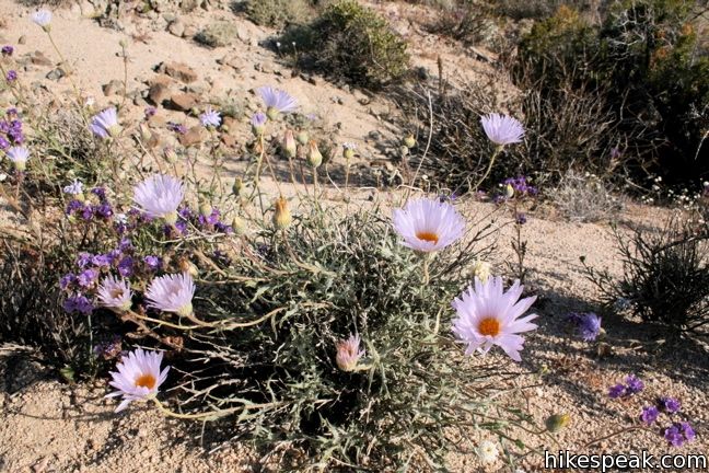
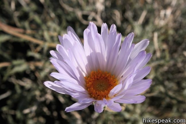
Spring is the perfect time to visit Joshua Tree National Park. The temperatures are accommodating and the desert comes to life with wildflowers.
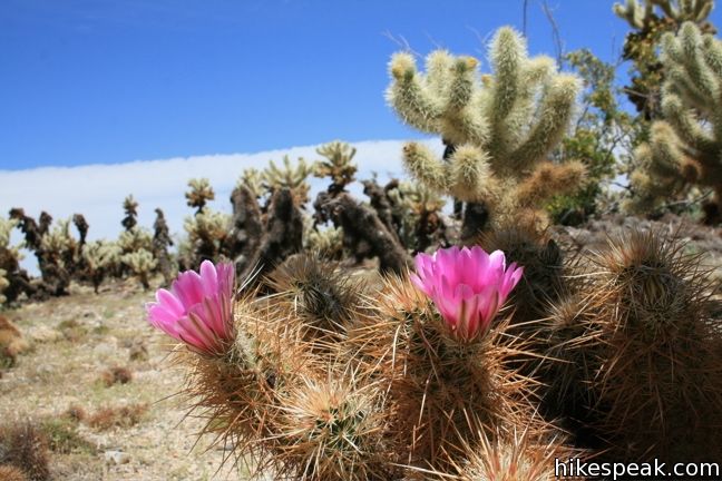
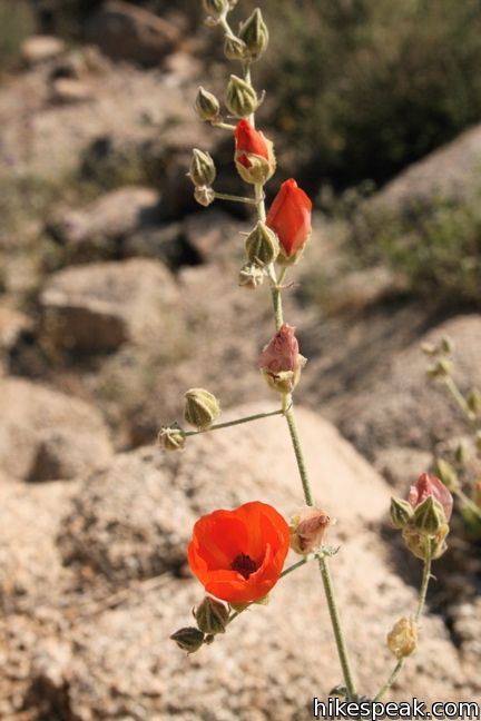
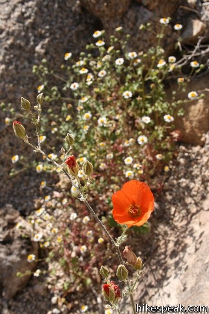
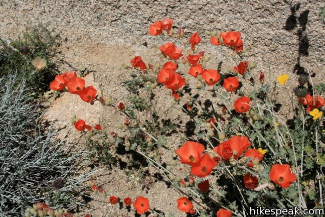
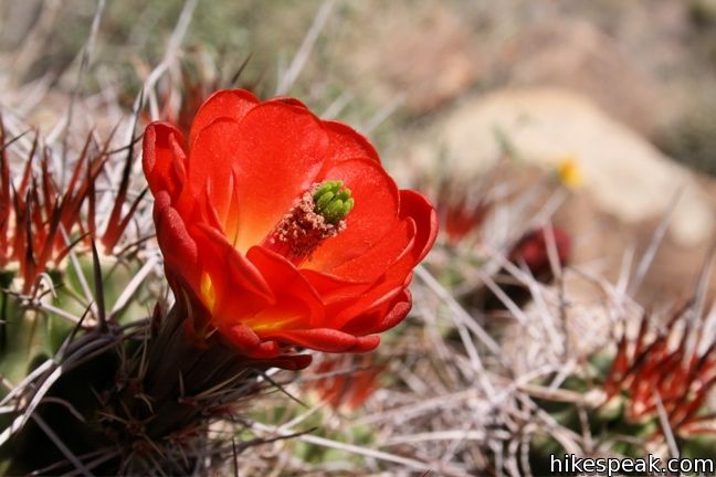
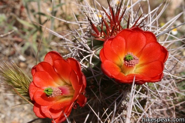
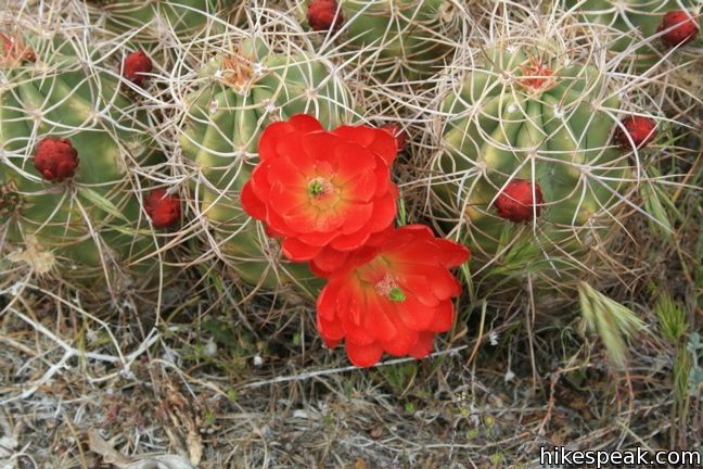
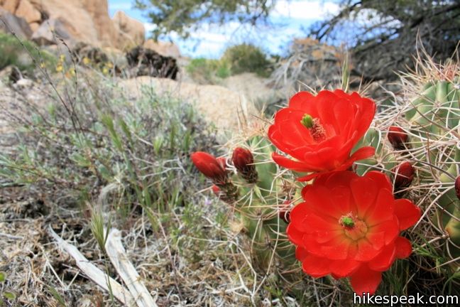
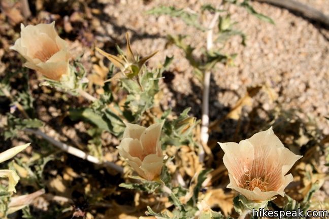
The desert in bloom is something any outdoor enthusiast in California should see. Most of the wildflowers below were photographed near Eagle Mountain and Lost Palms Oasis in April of 2008. Photos from other areas of the park taken in April of 2010 and later. Enjoy these samples of blooming desert beauties like Engelmann hedgehog, Canterbury bell, Mojave mound cactus, and beavertail cactus, and then set out to find your own wildflowers in Joshua Tree National Park. The lower elevation on the east side of the park typically blooms earlier in the year. Ask a park rangers to point you in the right direction.
 | See more wildflowers in Anza-Borrego Desert State Park The desert bloom in the park to the south brings out Barrel Cactus, Beavertail Cactus, Bigelow’s Monkeyflower, Brown-eyed Primrose, Desert Chicory, Fishhook Cactus, Ocotillo, Prickly Poppy, and more. |
 | See more wildflowers in Los Angeles The spring broom around LA brings out Blue Dicks, Blue-eyed Grass, Monkeyflower, Chinese Houses, Gazanias, Lupines, Mariposa Lily, Phacelia, Poppies, Sea Figs, Shooting Star, Sunflowers, and more. |
Flowers in Joshua Tree National Park
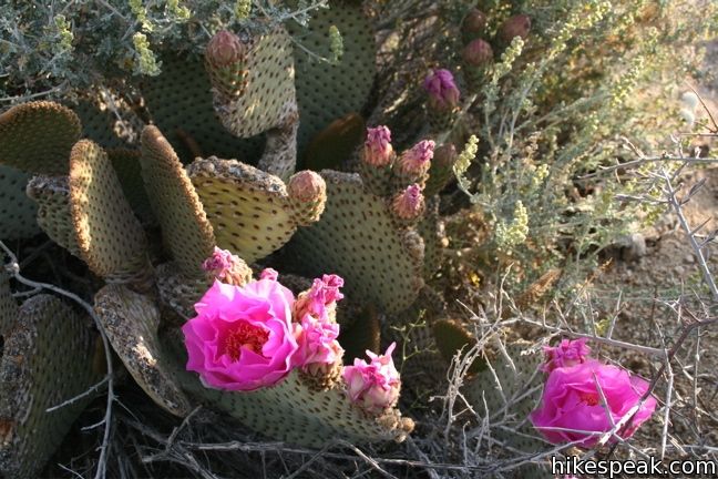
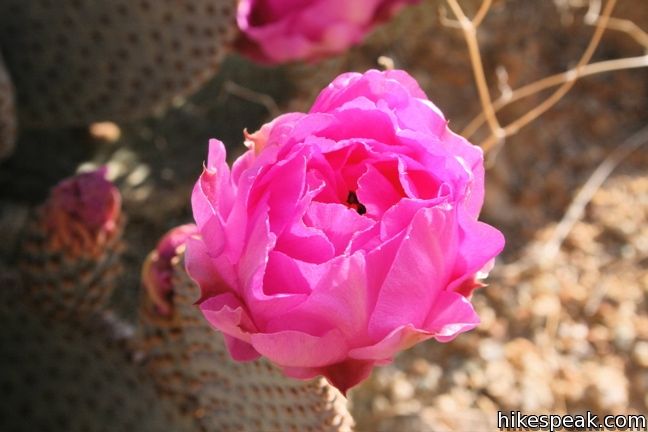
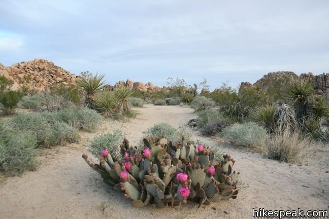
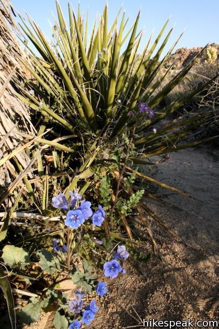
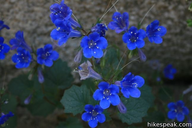
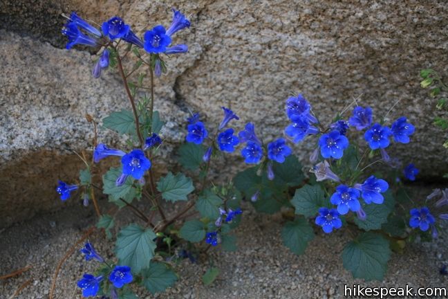
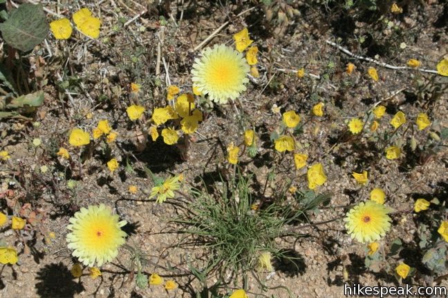
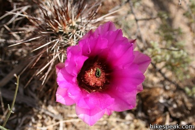
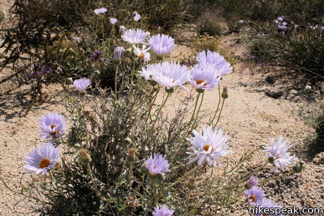
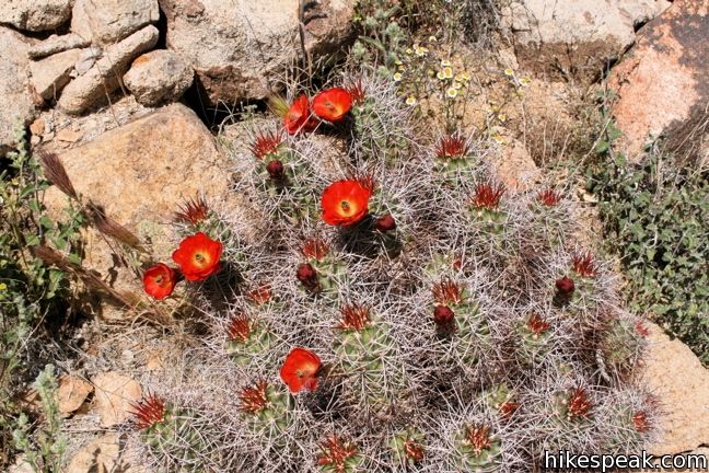
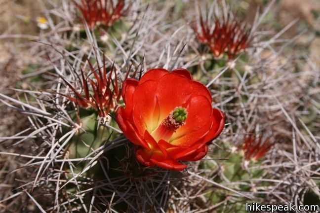
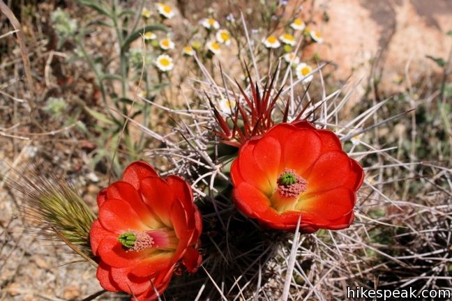
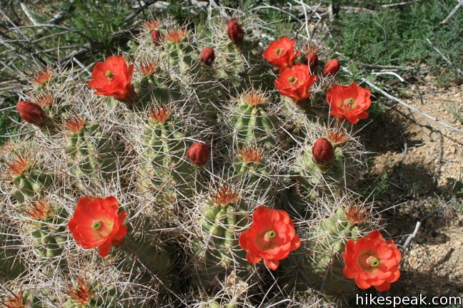
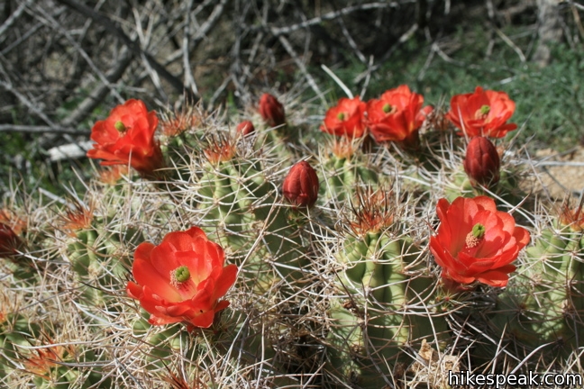
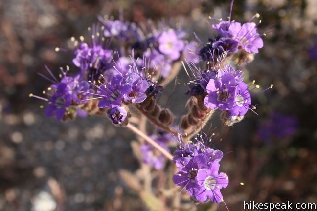
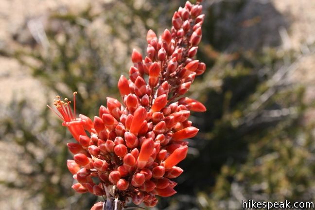
Use this map to view the area and get directions:
Or view California Desert trails and campgrounds in a larger map
Hikes in Joshua Tree National Park
| Trail | Description | Distance | Location |
|---|---|---|---|
 560 560 | Fortynine Palms Oasis The out and back hike visits a palm tree oasis in the desert on the north side of Joshua Tree. | 3 miles 350 feet | 34.1193, -116.1120 |
 570 570 | Indian Cove The 101-site campground is home to a 0.6-mile interpretive trail and endless bouldering and rock climbing opportunities. | 0.6 - 2 miles (or more) 25 feet | 34.09488, -116.1685 |
 580 580 | Contact Mine This out and back hike travels up a wash, a canyon, and an old road to a mountainside mine site. | 3.9 miles 700 feet | 34.0723, -116.0327 |
 587 587 | High View Nature Trail This loop climbs a ridge on the west side of the park that offers views of San Gorgonio Mountain and Yucca Valley, along with an introduction to desert plants. | 1.35 miles 325 feet | 34.076169, -116.399369 |
 590 590 | Warren Peak This out and back hike summits a peak with impressive views over the west side of Joshua Tree. | 5.5 miles 1,000 feet | 34.07155, -116.3909 |
 600 600 | Desert Queen Mine This out and back hike follows a level desert trail to an overlook before crossing a canyon to visits the ruins of an old gold mine. | 1.6 miles 150 feet | 34.0236, -116.0776 |
 610 610 | Lucky Boy Vista This level out and back hike visits a modest overlook at the site of an old mine. | 2.5 miles 125 feet | 34.01795, -116.0824 |
 620 620 | Wall Street Mill This level out and back hike visits a well-reserved gold mill, exploring the mining history of Joshua Tree National Park. | 1.55 - 2.15 115 feet | 34.0251, -116.1419 |
 630 630 | Wonderland Wash This level out and back hike travels past the ruins of Wonderland Ranch up a use trail into the Wonderland of Rocks. | 2.1 miles (or more) 75 feet | 34.0251, -116.1419 |
 640 640 | Barker Dam This level loop visits a small foreign-looking reservoir within the Wonderland of Rocks. | 1.5 miles 50 feet | 34.0251, -116.1420 |
 650 650 | Hidden Valley This loop circles the interior of a small valley surrounded by tall rocks that serves as an excellent bouldering arena. | 1 mile (or more) 75 feet | 34.01237, -116.1680 |
 660 660 | Ryan Mountain This out and back hike offers summit views from the center of Joshua Tree National Park. | 3 miles 1,050 feet | 34.00257, -116.13594 |
 670 670 | Ryan Ranch This out and back hike from Ryan Campground or Park Boulevard visits the ruins of an old adobe homestead beneath Ryan Mountain. | 0.8 - 1.2 miles (or more) 85 feet | 33.988821, -116.153846 |
 680 680 | Lost Horse Mine This out and back hike visits a well-preserved mine and mill. | 4 miles 400 feet | 33.9507, -116.15982 |
 690 690 | Keys View to Inspiration Peak This out and back hike leaves the crowds at Keys View for even grander views from a 5,550-foot summit. | 1.2 miles 425 feet | 33.9272, -116.18745 |
 700 700 | Crown Prince Lookout This easy out and back hike crosses a desert plateau to a pair of overlook near the site of an World War II era observation post. | 3.25 miles 50 feet | 33.991885, -116.067908 |
 710 710 | Arch Rock This lollipop loop visits a natural arch in the granite formations around White Tank Campground. | 1.3 miles 100 feet | 33.9899, -116.02275 |
 720 720 | Cholla Cactus Garden This loop offers a stroll through an intense concentration of cholla cacti. | 0.25 miles 0.1 miles | 33.9253, -115.9289 |
 730 730 | Mastodon Peak This loop visits a 3,400-foot summit with panoramic views of southeastern Joshua Tree. | 2.6 miles 440 feet | 33.7370, -115.8107 |
 740 740 | Lost Palms Oasis This out and back hike visits an oasis nestled between mountains in the southeast corner of the park. | 7.2 miles 400 feet | 33.7370, -115.8107 |
 750 750 | Bajada Trail This level nature trail loop explores the plants living on a desert bajada. | 0.3 miles 5 feet | 33.681238, -115.801784 |
When is the best time to see wildflowers in bloom in Joshua Tree N.P., and what would make a good base for some challenging day hikes?
Thanks!
March is usually the best time of year to see flowers, but it changes year to year. The east side of the park, which is at a lower elevation, usually blooms first. The trail to Lost Palms Oasis is a good day hike in that area that can get a lot of flowers.
March 19, 2015 on a hike to Lost Horse Mine found a very small flower that I can not identify. leave are grey green very close to ground, they look like curly parsley. The flower was not quiet out yet but the bud looked to be a dill shaped flower that would be burgundy when blooming. Have a picture but will not let me post it here. thank you for your assistance.