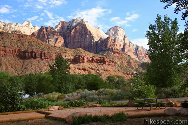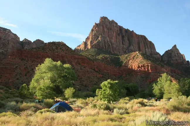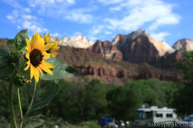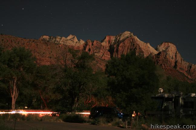
Zion National Park boasts three campgrounds. The six-site Lava Point Campground is located on the north side of the park near the entrance of Kolob Canyon. Watchman campground and South Campground are located at the southern end of Zion Canyon near the park visitor center, and are significantly larger. The 164 sites at Watchman Campground may be reserved from March through October by calling 877-444-6777 or surfing over to recreation.gov. Zion Canyon is a popular summer travel destination. It is advisable to reserve a camp site before visiting in the park. South Campground and Watchman Campground typically fill by the early afternoon. Riverside campsites cost a couple dollars more than other sites, and group sites are available. Backcountry camping is also permitted. Visit Zion National Park Campgrounds for more information.


Campgrounds in Zion National Park
Lava Point Campground | 6 sites | open year round | first-come first-serve | no fee | restrooms, drinking water, picnic tables, and fire rings | elevation 7,980 feet
South Campground | 126 sites | open year round | first-come first-serve | $16 per night | restrooms, drinking water, picnic tables, fire rings, and dump stations | elevation 4,000 feet
Watchman Campground | 164 sites | open year round | reservations accepted | $16 per night | restrooms, drinking water, picnic tables, fire rings, and dump stations | elevation 4,000 feet


To get to Zion National Park: From Interstate 15 near Saint George, Utah, take Route 9 east for thirty miles to the park entrance. Inside the park, make the first right to reach the visitor center and Watchman Campground, or the second right to reach South Campground.
Watchman Campground address: Zion Park Boulevard (Zion Canyon Scenic Drive), Zion National Park, Springdale, UT 84767
Watchman Campground coordinates: 37.198471, -112.986226 (37° 11′ 54.49″N 112° 59′ 10.41″W)
Use the map below to view the campgrounds in Zion National Park:
Hiking in Zion National Park
| Trail | Description | Distance | Location |
|---|---|---|---|
 200 200 | Riverside Walk This popular out and back hike bordering the Virgin River ends at the bottom of the "Narrows" north of Zion Canyon. | 1.8 miles 60 feet | 37.2852, -112.9477 |
 210 210 | Weeping Rock This out and back hike visits an alcove in the sandstone wall of Zion Canyon where water seeps out of the rock, nourishing hanging gardens and plentiful vegetation. | 0.4 miles 100 feet | 37.2709, -112.9385 |
 220 220 | Hidden Canyon This out and back hike ascends the east rim of Zion Canyon above Weeping Rock, and then crosses dramatic cliffs to reach a hanging canyon housing a small natural arch. | 3.3 miles 850 feet | 37.2709, -112.9385 |
 230 230 | Angels Landing This out and back hike takes an incredible route up the east rim of Zion Canyon ascending to a towering slab of sandstone jutting into the center of the canyon. The expansive views and thousand foot drop-offs have made this trail world famous. | 5.2 miles 1,500 feet | 37.2592, -112.9513 |
 240 240 | Emerald Pools This loop visits three tiers of enchanting pools by incorporating the Lower, Middle, and Upper Emerald Pools Trails. | 2.4 miles 350 feet | 37.25095, -112.9580 |
 250 250 | Court of the Patriarchs This brief walk heads up a short rise in the center of Zion Canyon to offer a nice view of the surrounding sandstone peaks. | 0.1 miles 40 feet | 37.2370, -112.9606 |
 260 260 | Canyon Overlook Trail This short hike visits a scenic viewpoint looking west over Zion Canyon. | 1 mile 150 feet | 37.2134, -112.9406 |
 270 270 | Watchman Trail This lollipop loop reaches a panoramic overlook on the side of Zion Canyon. | 3.5 miles 500 feet | 37.20128, -112.986415 |
