Hikes on the Palos Verdes Peninsula

From a distance, this picturesque peninsula in the southwest corner of Los Angeles County can appear like an island, hovering above the haze of Santa Monica Bay. The peninsula feels far away too, with rugged bluffs that look more like the Central Coast than waterfront typically found around Los Angeles. Parks and reserves throughout Palos Verdes create pockets of green spaces that are prefect for short day hikes. Take a quick trip to a far away place.

Highlights of Palos Verdes Peninsula

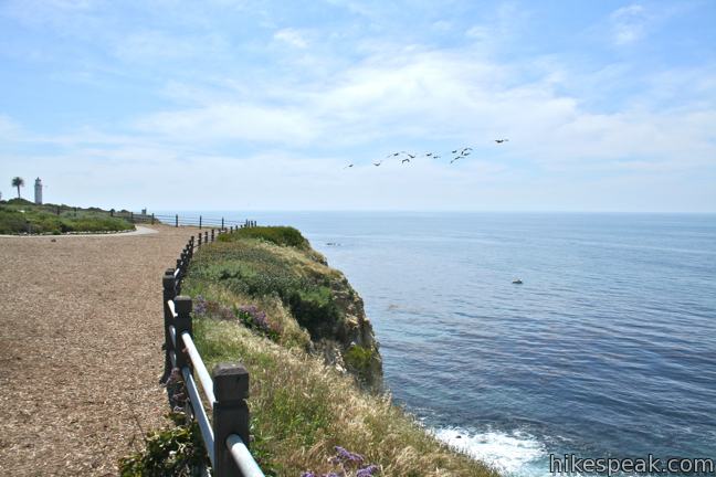
  • This 1.5-mile hike is level and family friendly, exploring scenic coastal bluffs north of the historic Vicente Point Lighthouse on Palos Verdes Peninsula.
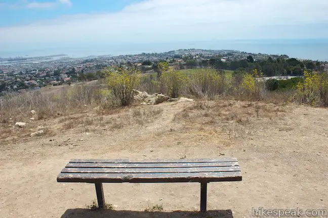
  • This 1.1-mile loop circles a park with panoramic ocean views over the south end of Palos Verdes Peninsula.
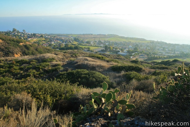
  • This 1.25-mile loop in Forrestal Nature Reserve delivers lots of ocean views as it circles an old bowl-shaped quarry on Palos Verdes Peninsula.
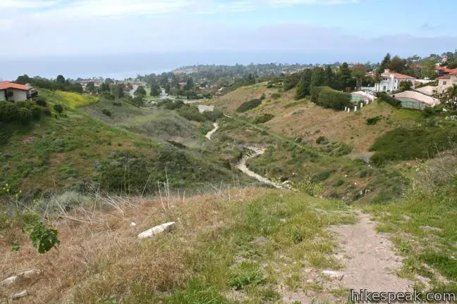
  • This 1 to 1.9-mile trail explores an overgrown canyon between two residential ridges inland of Lunada Bay on Palos Verdes Peninsula.
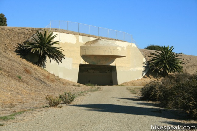
  • This 1 to 2.5-mile loop on Palos Verdes Peninsula explores an open space containing a military bunker built to defend the west coast during World War II.

Hiking Palos Verdes Peninsula

This collection of trails on the Palos Verdes Peninsula lists the hikes from north to south. The table may also be sorted alphabetically or by distance to help you pick your next hike. Each trail links to its own report complete with photos, GPS maps, elevation profile, directions, and all the other information needed to locate and enjoy these hikes. An interactive map is also included.

TrailDescriptionDistance Location
Palos Verdes Lunada Canyon900Lunada Canyon Trail
This short trail explores an overgrown canyon between two residential ridges inland of Lunada Bay.
1-1.9 miles
200 - 550 feet
33.7684,
-118.411
Palos Verdes Seascape Trail910Seascape Trail
This level family-friendly hike explores scenic coastal bluffs north of the historic Vicente Point Lighthouse on Palos Verdes Peninsula.
1.5 miles
40 feet
33.74718,
-118.4118
Portuguese Bend Reserve Palos Verdes Peninsula915Portuguese Bend Reserve
This double loop explores the scenic coastal hillsides and canyons in Portuguese Bend Reserve on the Palos Verdes Peninsula and can easily be shortened to 3 miles round trip by omitting the lower loop.
5.15 miles
975 feet
33.75765,
-118.3673
Palos Verdes Quarry Loop920Quarry Loop
This short loop in Forrestal Nature Reserve delivers lots of ocean views as it circles an old bowl-shaped quarry.
1.25 miles
325 feet
33.737639,
-118.347464
Deane Dana Friendship Park925Deane Dana Friendship Park
This loop circles a park with panoramic ocean views over the south end of the Palos Verdes Peninsula.
1.1 miles
200 feet
33.731209,
-118.319147
Palos Verdes White Point930White Point Nature Preserve
This loop on Palos Verdes Peninsula explores an open space containing a military bunker built to defend the west coast during World War II.
1 to 2.5 miles
150 feet
33.716086,
-118.31516
View Los Angeles Hikes in a larger map
hikespeak
Social Distancing Los Angeles Coronavirus Hiking
Most trails around Los Angeles have now closed. You are about to read an unusual post for a hiking website, written during the coronavirus pandemic. Hikespeak.com is in no way qualified to offer medical advice. If the government issues any rules or guidelines that contradict something written here, ignore hikespeak and follow the recommendations of government and medical professionals.... Read more.
By: Published: Last updated: April 2, 2020
Longridge Park Hike Sherman Oaks Santa Monica Mountains Longridge Trail Los Angeles California
The Santa Monica Mountains have significant parks with great hiking getaways. Often overlooked are smaller undeveloped pockets within the mountains that offer quick escapes from the stresses of Los Angeles. Longridge Park in Sherman Oaks is the latter, a 50-acre park with a 0.2-mile long use-trail. Longridge Trail has ridge-top views throughout its short run, like perspectives north... Read more.
By: Published: Last updated: January 14, 2019
Las Virgenes View Trail Las Virgenes Valley Hike Malibu Canyon Las Virgenes View Park Calabasas California Santa Monica Mountains
Las Virgenes View Park preserves nearly 700 acres of the Santa Monica Mountains adjacent to Malibu Creek State Park. The park has one established trail, Las Virgenes View Trail, which rises to a panorama-boasting ridge. The trail traverses grasslands and oak woodlands near Las Virgenes Road and then runs up a canyon to a ridge where it forms a small loop with mountain views in all... Read more.
By: Published: Last updated: January 11, 2019
Heartbreak Hill Trail Santa Monica Mountains Hike Liberty Canyon Agoura Hills California
The heart pounding on Heartbreak Hill comes from the heavy dose of elevation on this short trail, which climbs 600 feet in a little over a mile. The trail is steep from the start, but does taper out before a rapid rise to Heartbreak Ridge, just below a summit crest. The hike is easy-to-reach, setting out from Agoura Road near the Liberty Canyon Exit of the 101 Freeway. The top of the hike... Read more.
OK! Add to trails I’ve hiked
OK! Add to trails I want to hike
Tagged with · Agoura Hills · Free Trails · Dog-Friendly Trails · Santa Monica Mountains
Distance: 2.1 miles · Elevation change: 600 feet
By: Published: Last updated: January 11, 2019
Anza Loop Trail Santa Monica Mountains Hike Calabasas Agoura Hills California
In a rolling, grassy stretch of the Santa Monica Mountains near the 101 Freeway, Anza Loop Trail plots a course through history. Pause along the trail to study panels and plaques about the past - or just breeze through the loop and enjoy the present sights and sounds. Like Anza-Borrego Desert State Park, Anza Loop Trail takes its name from Juan Bautista de Anza who led an expedition up... Read more.
By: Published: Last updated: January 20, 2021