
Wildflowers draw crowds of visitors to Anza-Borrego Desert State Park. Who wouldn’t want to see the desert come alive with vibrant tapestries of colors? At peak bloom, which lasts just a couple of weeks, the desert floor transforms into a dazzling tableau with carpets of yellow, red, and purple. The bloom typically climaxes in early march, but the intensity and timing of the bloom varies each year. Rainfall, wind, and temperature influence the scale and scheduling of the bloom. Unfortunately, in recent years invasive Sahara Mustard has swept into the Anza-Borrego Desert destroying much of the native vegetation, and diminishing the wildflower bloom. Visitors are encouraged to pull up this weed when spotted.
Even outside peak bloom, wildflowers can be seen along trails and roadways throughout the spring. Keep an eye open for flowering cacti, bushes, and other vegetation. News of the bloom is posted on the Anza-Borrego Desert State Park website, and can also be received over the phone by calling the wildflower hotline at 760-767-4684. You only need to hike one of the short trails in Anza-Borrego Desert State Park to discover lots of wildflowers.
 | See more wildflowers in Joshua Tree National Park The desert bloom to the north is impressive as well. Take a look at blooming Canterbury bell, desert dandelions, desert poppies, Engelmann hedgehog, globemallow, Mojave aster, Mojave mound cactus, sand blazing star, and more. |
 | See more wildflowers in Los Angeles The spring broom around LA brings out blue dicks, blue-eyed grass, monkeyflower, Chinese houses, lupines, phacelia, poppies, shooting stars, sunflowers, and more. |
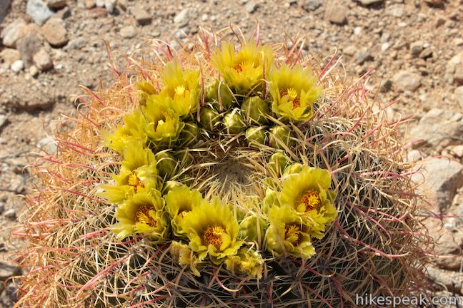
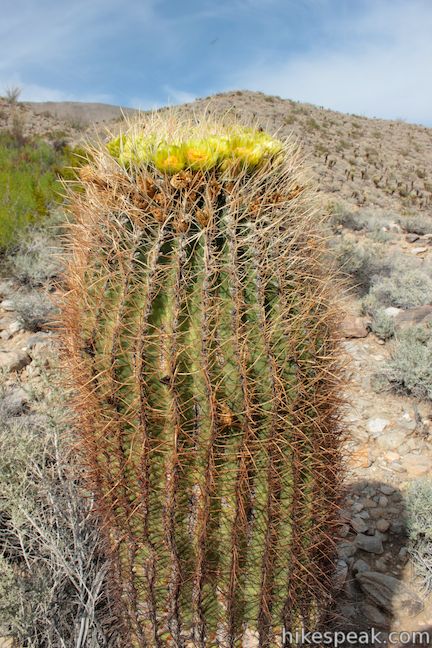
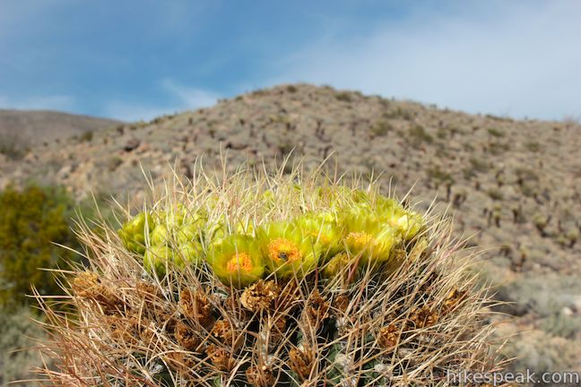
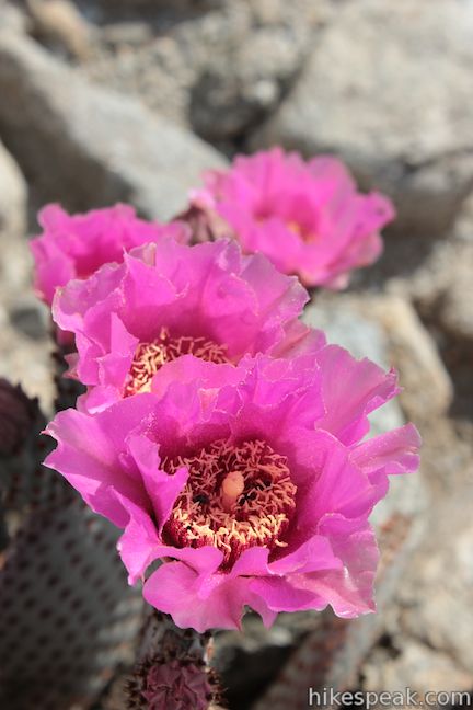
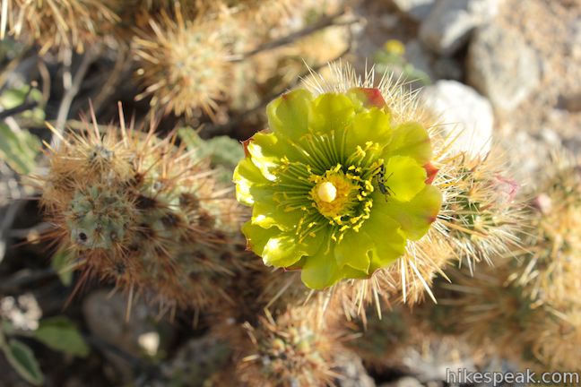
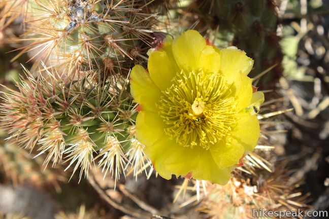
Flowers in Anza-Borrego Desert State Park
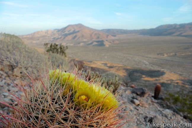
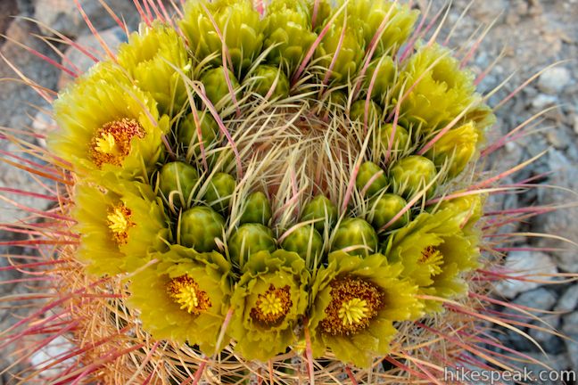
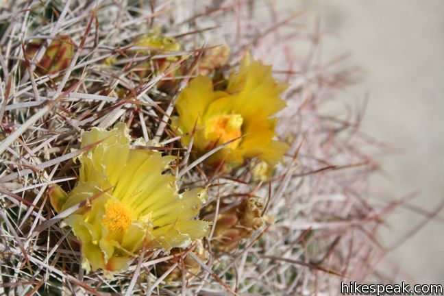
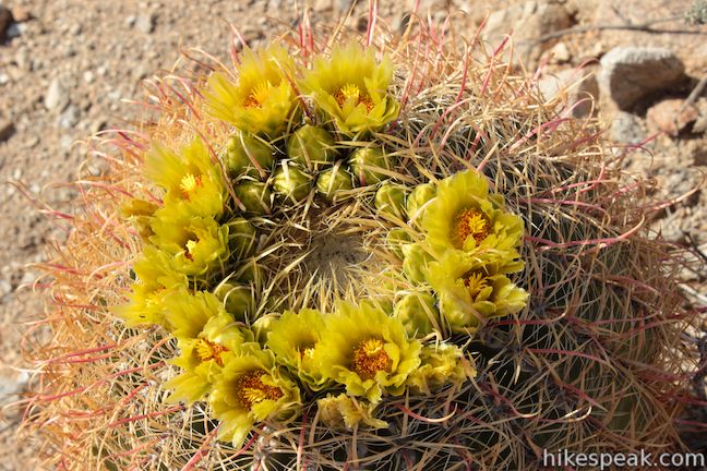
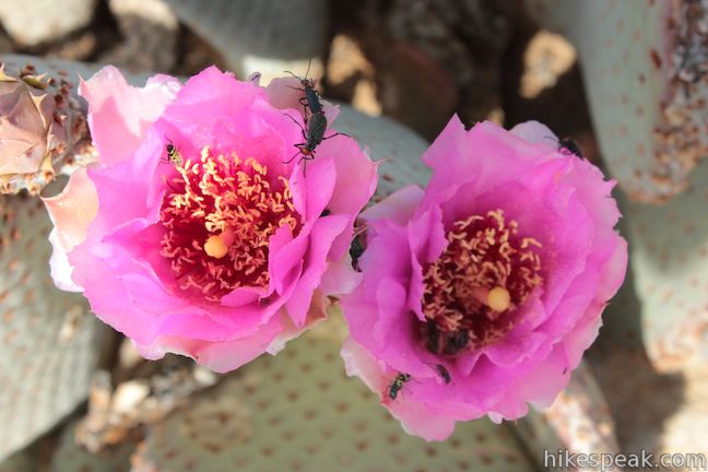
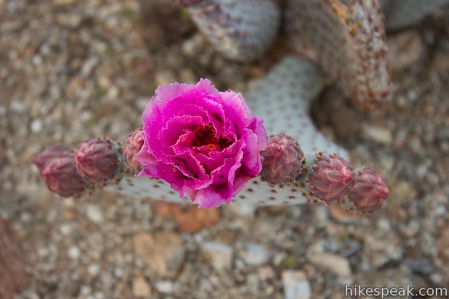
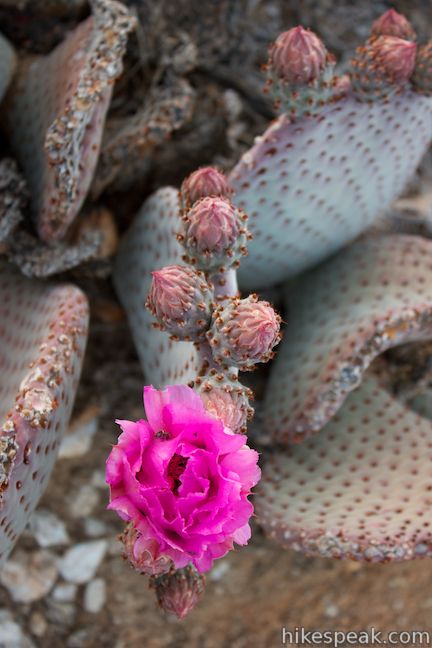
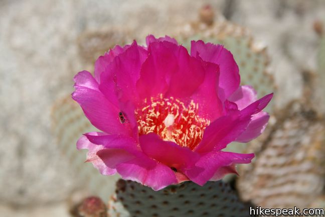
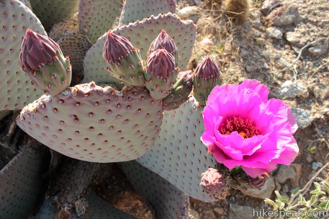
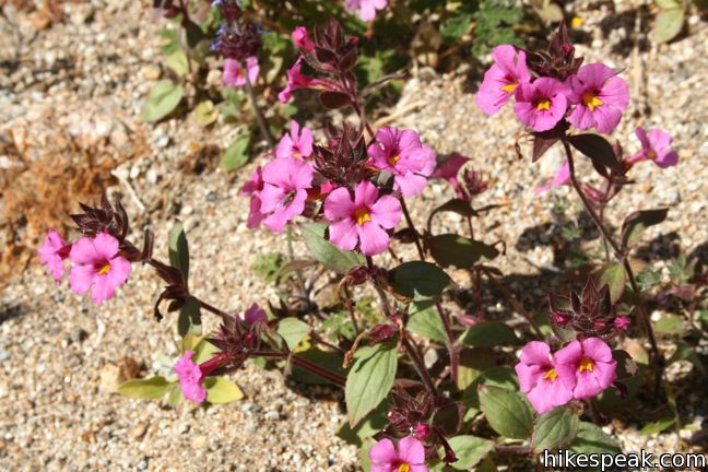
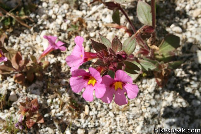
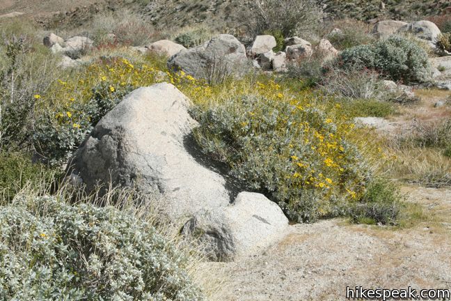
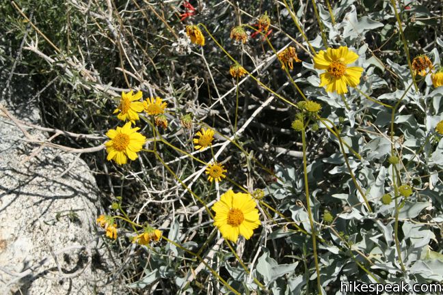
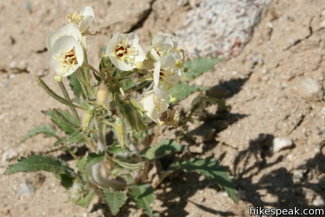
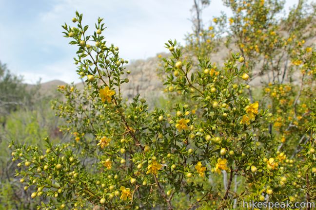
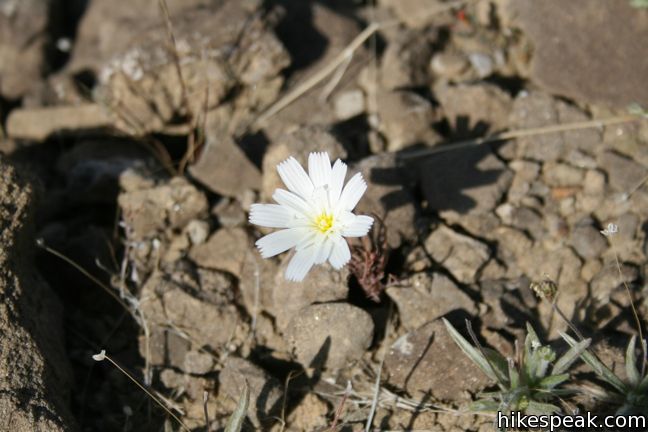

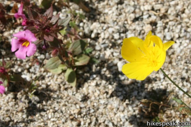
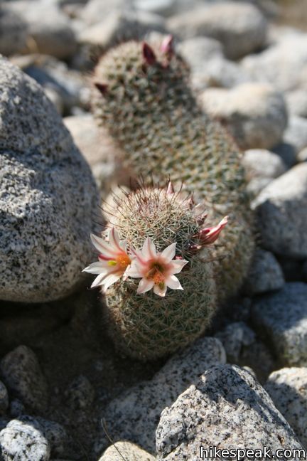
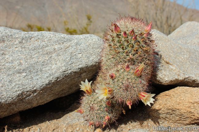
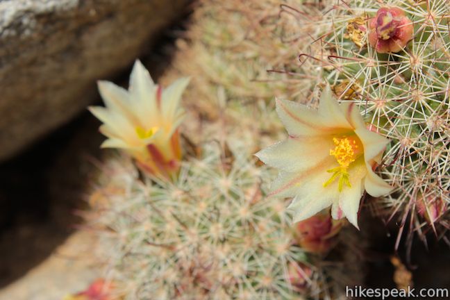
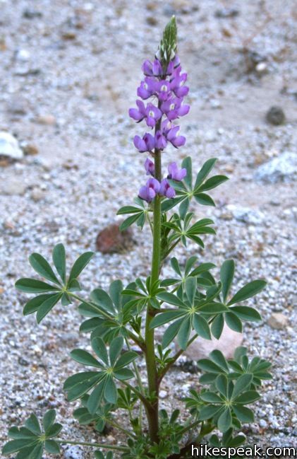
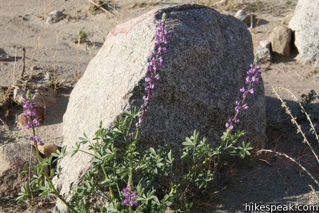
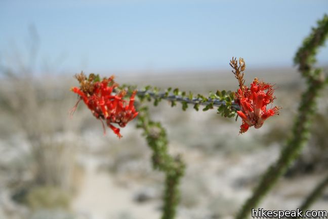
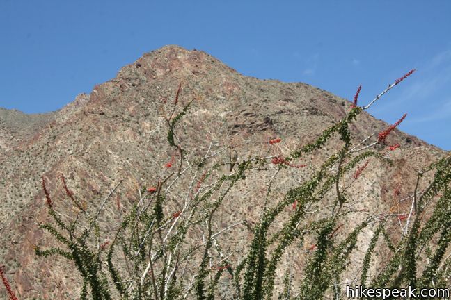
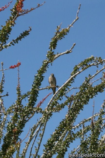
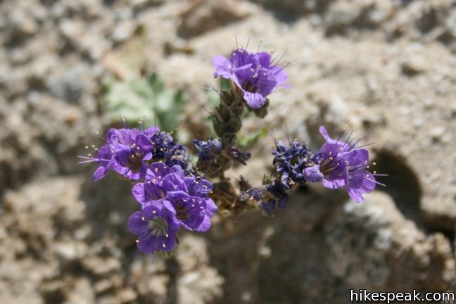
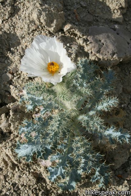
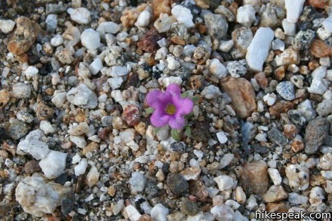
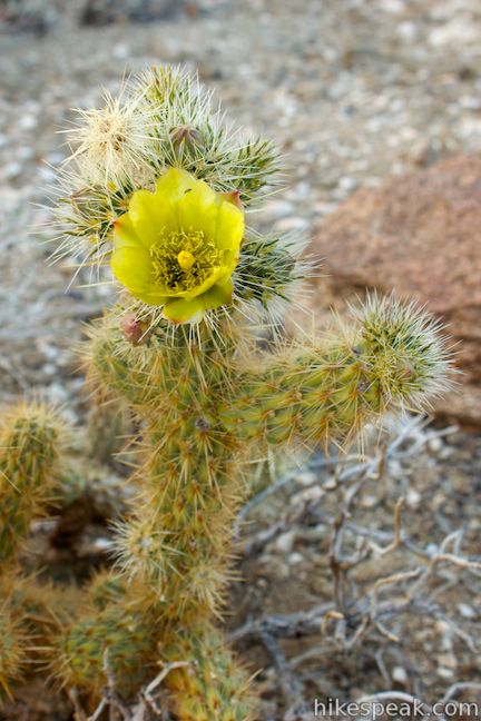
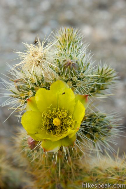
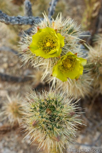
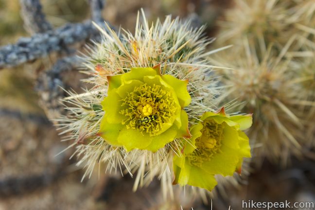
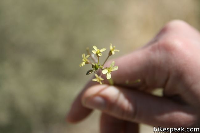
And that invasive weed…
Or view California Desert trails and campgrounds in a larger map
Hikes in Anza-Borrego Desert State Park
| Trail | Description | Distance | Location |
|---|---|---|---|
 810 810 | Calcite Mine Trail This figure-eight shaped lollipop loop visits enthralling narrows and a mine site important to the history of the Anza-Borrego Desert. | 4 - 4.25 miles 600 feet | 33.2811, -116.0964 |
 820 820 | Borrego Palm Canyon Trail This loop visits a popular palm tree oasis in a canyon west of Borrego Springs. | 3.25 miles 450 feet | 33.2702, -116.4182 |
 822 822 | Panoramic Overlook Trail The out and back hike ascends a ridge on the south side of Borrego Palm Canyon to sweeping views of the San Ysidro Mountains and Borrego Valley. | 1 mile 275 feet | 33.267663, -116.409476 |
 830 830 | Hellhole Canyon Trail to Maidenhair Falls This out and back hike visits a 20-foot waterfall in a canyon near Borrego Springs, making it the perfect place to cool off on a hot day in the California Desert. | 5.5 miles 1,000 feet | 33.248037, -116.40594 |
 833 833 | Culp Valley Loop This loop visits Culp Valley Overlook and Pena Springs, delivering views of the San Ysidro Mountains and Borrego Valley along the way. | 2.2 miles 200 feet | 33.2241, -116.454725 |
 836 836 | Tubb Canyon Trail to Big Spring This out and back hike follows a footpath across Tubb Canyon to Big Spring in a desert canyon below Pinyon Ridge in the San Ysidro Mountains. | 1.5 miles 200 feet | 33.211274, -116.438534 |
 840 840 | The Slot This out and back hike crosses a narrow canyon beneath a natural rock span that is among the most photographed landmarks in the park. | 0.8 miles 100 feet | 33.18213, -116.21417 |
 843 843 | Kenyon Overlook Trail This loop sets out from Yaqui Pass to reach an incredible viewpoint across Mescal Bajada. | 1.15 miles 125 feet | 33.148143, -116.348653 |
 845 845 | Cactus Loop Trail This loop on a self-guided nature trail explores cacti and other plants that have adapted to survive in the Anza-Borrego Desert. | 0.75 miles 225 feet | 33.138755, -116.37494 |
 846 846 | Yaqui Well Trail This out and back hike on a self-guided nature trail explores area botany and history on the way to a rare desert water source. | 1.6 miles 100 feet | 33.138333, -116.37649 |
 850 850 | Village Site No hiking required to visit this Kumeyaay Indian Village Site on Mine Wash Road where you can find morteros in a collection of boulders. | 0.1 miles | 33.113076, -116.34512 |
 855 855 | Narrows Earth Trail This short self-guided loop explores the geology of the park. | 0.5 miles 50 feet | 33.13072, -116.30155 |
 860 860 | Elephant Trees Trail This easy loop offers a lesson in desert botany including the rare elephant tree. | 1 mile 50 feet | 33.068153, -116.1168 |
 870 870 | Pictograph Trail This out and back hike visits rock paintings drawn by Kumeyaay Indians who lived in the Anza-Borrego Desert thousands of years ago. | 1.8 miles 190 feet | 33.01965, -116.3598 |
 880 880 | Morteros Trail This out and back hike visits a village of boulders once occupied by Kumeyaay Indians who left behind Morteros, grinding bowls carved into the rock. | 0.6 miles 40 feet | 33.00895, -116.3784 |
 890 890 | Marshal South Home Trail This out and back hike ascends to the ruins of an adobe cabin on Ghost Mountain (Yaquitepec) with great views above Blair Valley. | 1.3 miles 450 feet | 33.003382, -116.389789 |
 900 900 | Rainbow Canyon Trail This out and back hike follows an undeveloped trail up a colorful canyon full of vibrant rock formations and desert plants. | 2.2 miles 300 feet | 32.99775, -116.44755 |
 930 930 | Wind Caves Trail This short hike climbs to a sandstone formation that begs to be explored. | 1.25 miles 250 feet | 32.9933, -116.1184 |